Höga Kusten Leden, 2026 - Part 2
Nico SonackHiking on the Höga Kusten Leden in Sweden - Part 2
In summer 2026 we hiked the Höga Kusten Leden in Sweden. It is a ~130km hiking trail on the beautiful Swedish High Coast.
This is a series of three posts - this is day three and four.
You can find day one and two here.
Day 3
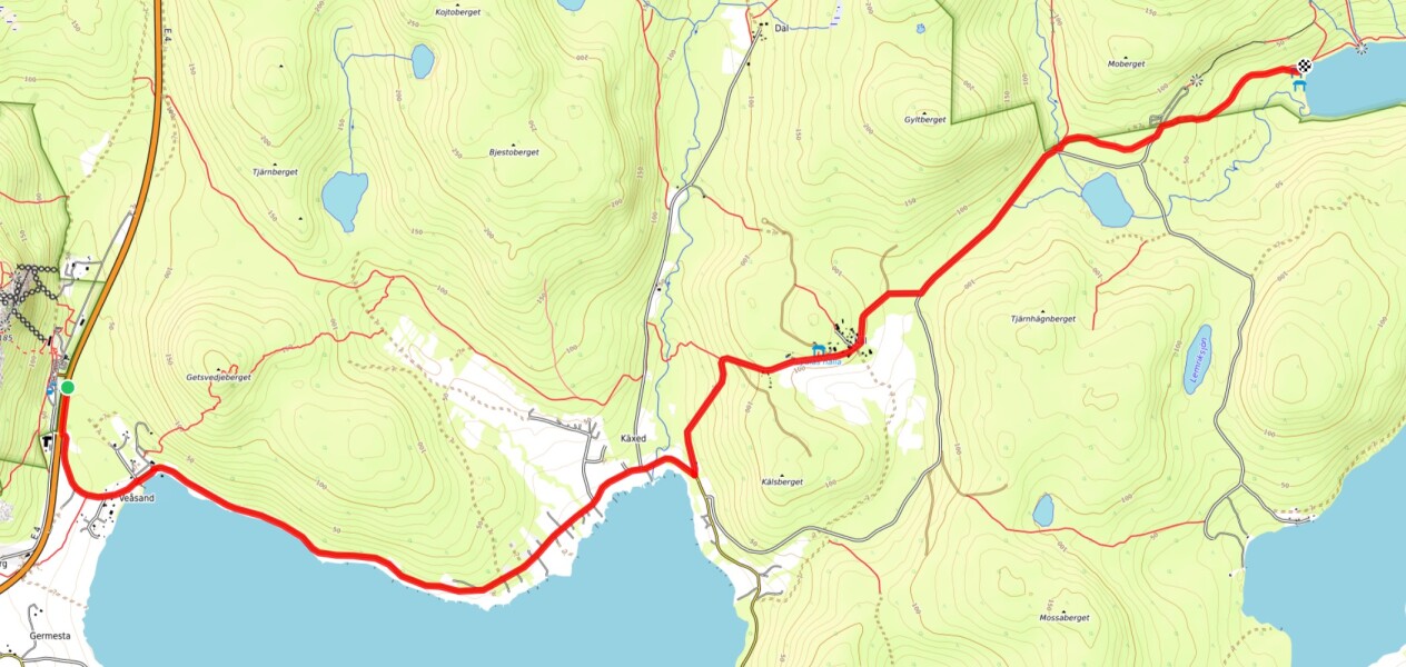
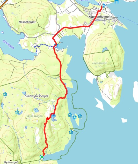
Since the first two days were very exhausting, having made almost 50km with heavy backpacks and steep climbs, we decided that we need to continue with less long day trips. Thus it was decided that we would take a bus from Nordingrå to Ullånger and then to the Docksta Naturum near Skuleberget. From there we walked via the Entré Syd of Skuleskogen National Park to Kälsviken bay.
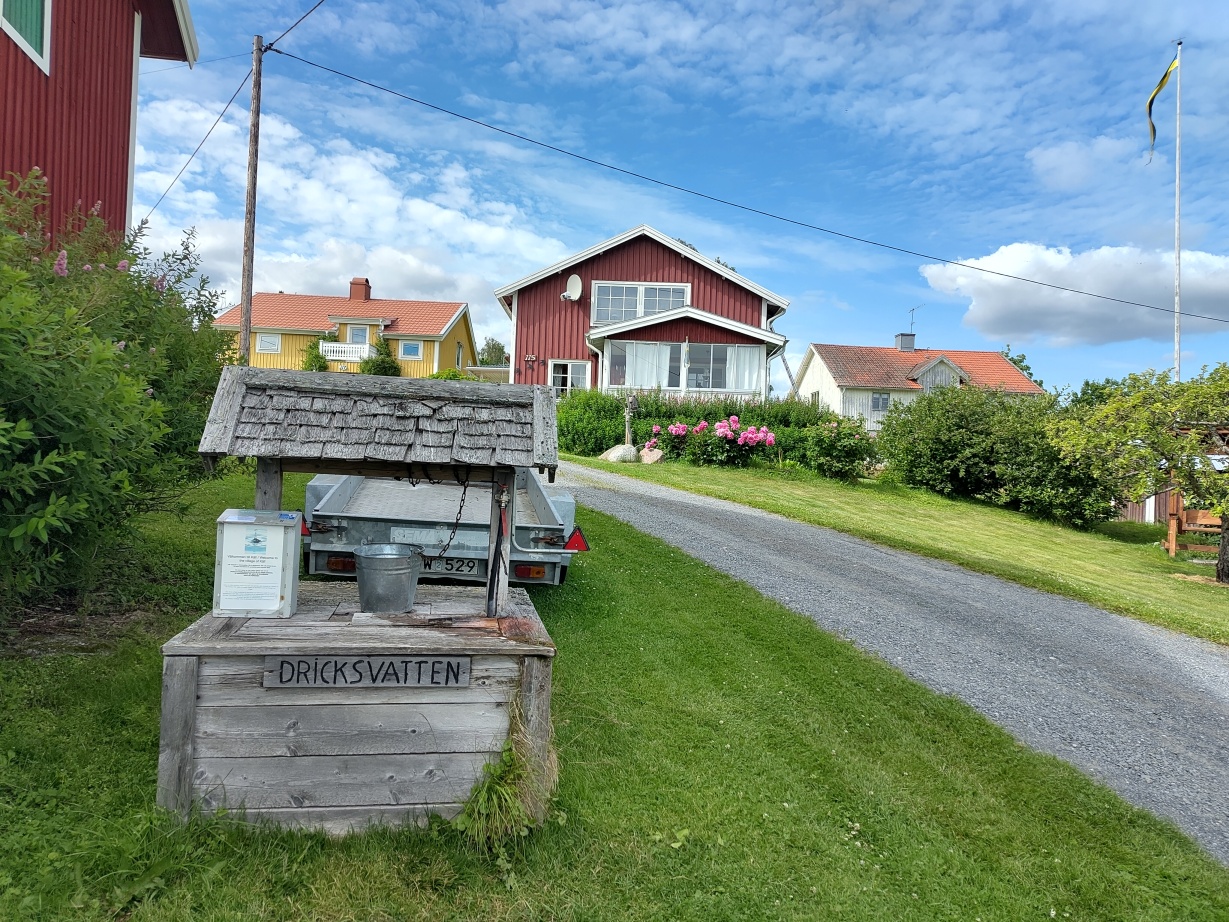
This hike took us via the small village of Käl which had a water well from which we used to refill our water sources. We filled up all our bottles and containers, 5l for both of us, because there was no usable water source at our destination. Since it was only downhill from there on, this was not a major pain point though.
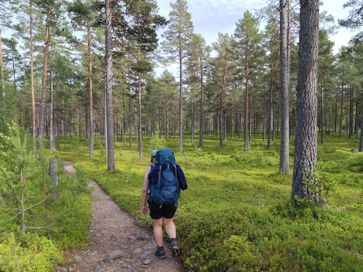
Skuleskogen National Park is with its 30km² a rather small forest, but with mountains, little creeks and lakes it is increadibly beautiful.
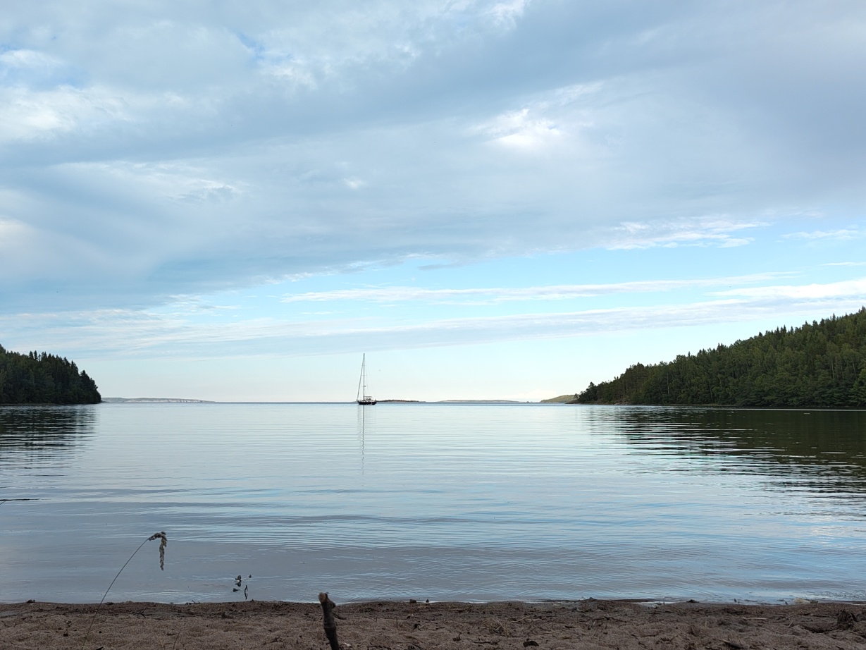
Kälsviken lies within the National Park and is one of the places where it is allowed to put up tents, make fire and stay overnight. Firewood is available for free, there are shelters and outhouses etc. One thing, sort of obvious but then also not expected was that there was no mobile network reception at all. Funnily this lead to our phones getting utterly confused, suddenly deciding that we were now in the Helsinki time zone. Because of this we had a time jump of an hour. The next day we discovered that we weren’t alone with this, and only at that point I found out by checking on the time zone of my phone.
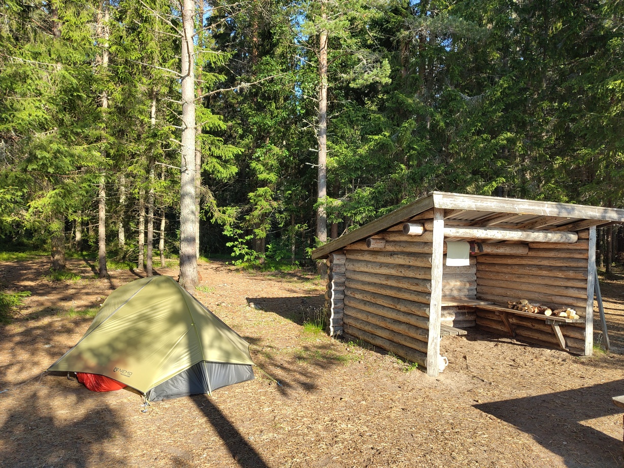
In any case, after jumping into the water, eating, having a few nice chats with other people we went to sleep and woke up the next morning.
Day 4
We woke up at 07:30 AM, at least we believed. In reality it was 06:30 AM.
Day 4 started, again, with müsli and coffee. After packing and checking a few things we started our climb into Skuleskogen National Park.
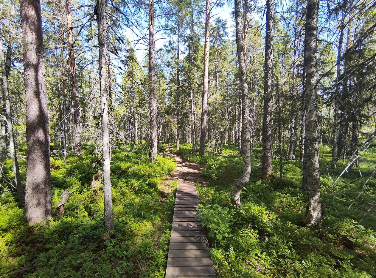
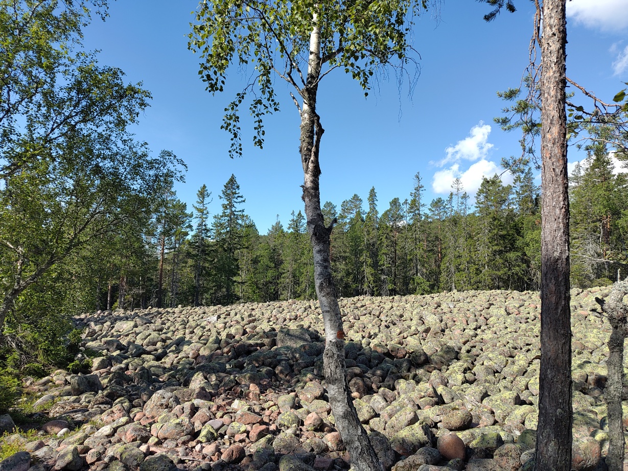
This day was our first highlight of this entire tour along the Höga Kusten. The trail led us through forests, bogs, the mentioned Klapperfält spots in the middle of the forest, along water falls and lakes.
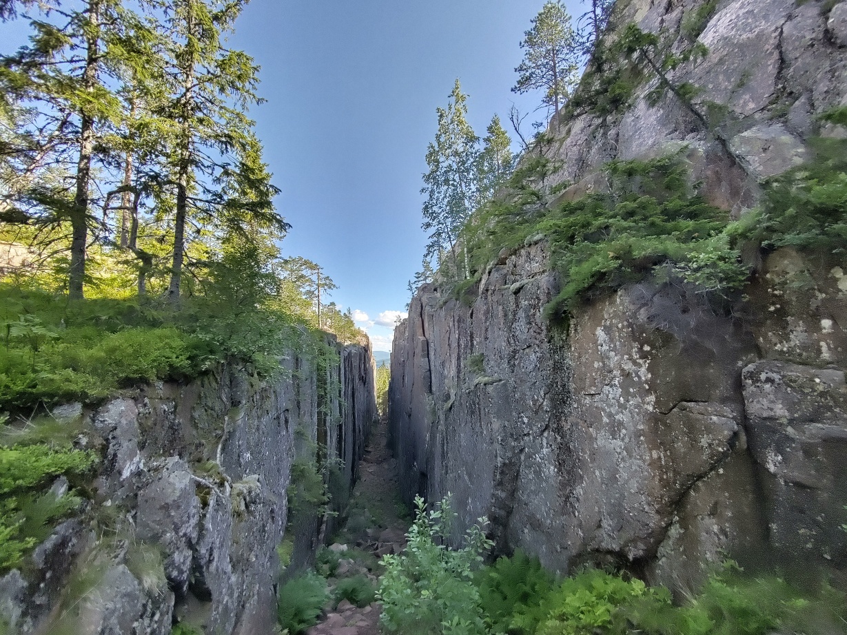
One of the main attractions at Skuleskogen is the Slåttdalsberget plateau with the Slåttdalsskrevan, a 200m long and 30m deep crevasse. Since we started very early we made it there before most of the one-day tourists arrived. I guess we now have to thank modern technology for this failure.
Here you can enjoy the view across the baltic sea, lake Tärnättvattnen and the surrounding islands of the high coast.
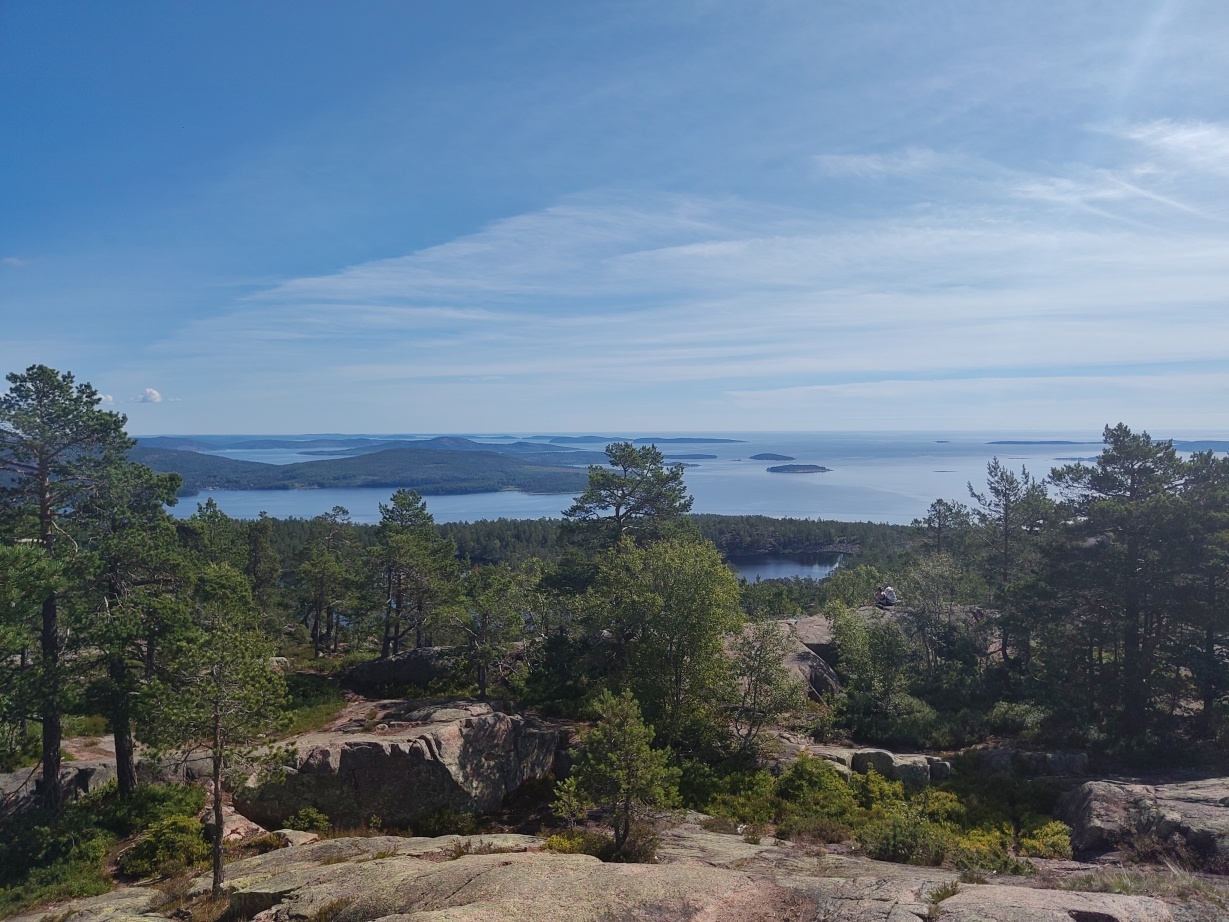
Although it may not look like it, lake Tärnättvattnen is at an elevation of 170m above sea while the surrounding baltic sea is at, surprise, 0m. There’s a huge cliff hidden behind the forest line.
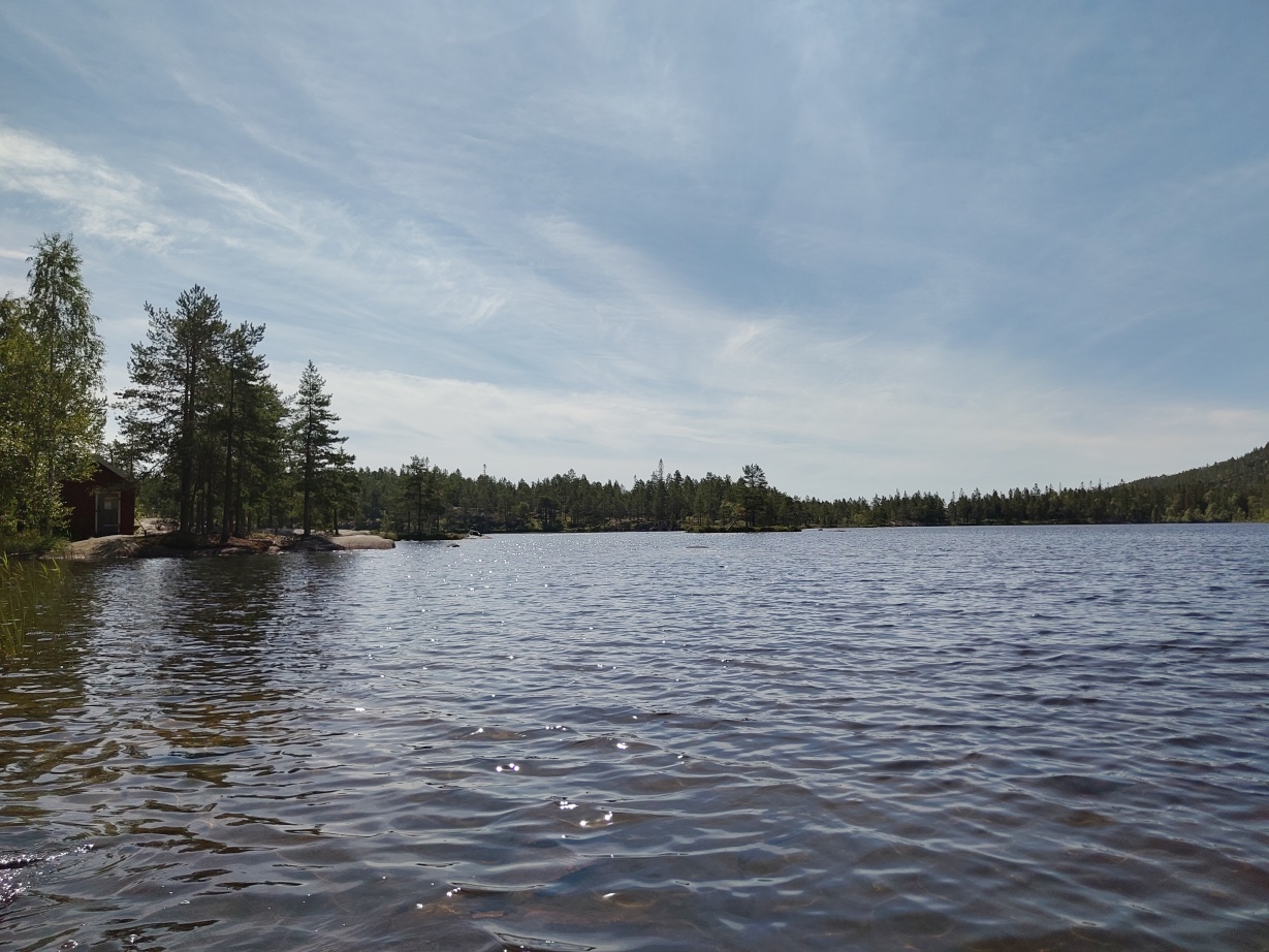
Down at Tärnättvattnen there is another public hut “Tärnättstugan” inviting one to have a stay.
After leaving Skuleskogen we had a rather long road section to the town of Köpmanholmen, in the heat of the swedish summer, acompanied by a nearing thunderstorm. Having done some grocery shopping we stayed overnight in an open hut for hikers at Köpmanholmen port where we could again enjoy a shower, had a fridge, a stove and electricity.
To be continued.