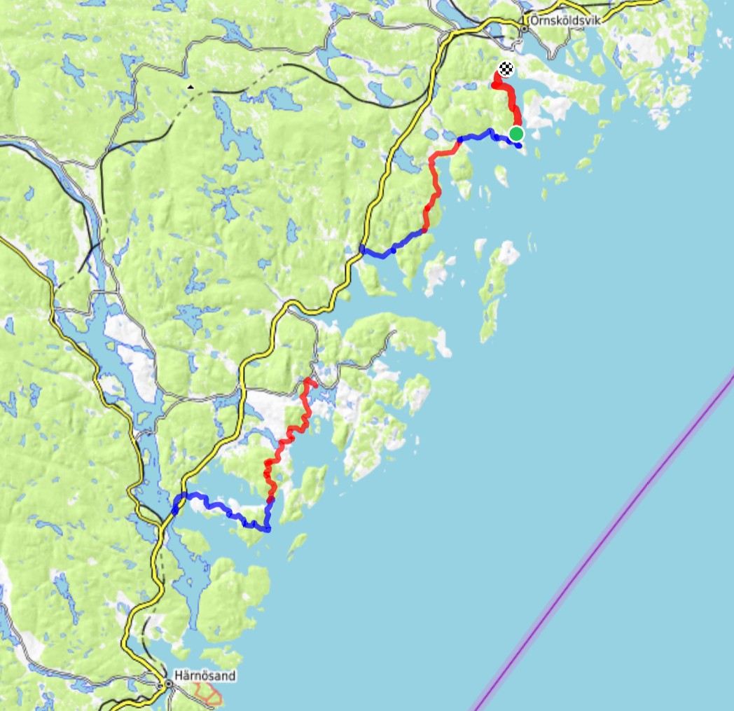
Höga Kusten Leden, 2026 - Part 3
Nico SonackHiking on the Höga Kusten Leden in Sweden - Part 3
In summer 2026 we hiked the Höga Kusten Leden in Sweden. It is a ~130km hiking trail on the beautiful Swedish High Coast.
This is a series of three posts - this is day five and six.
You can find day one and two here, days three and four can be found here.
Day 5
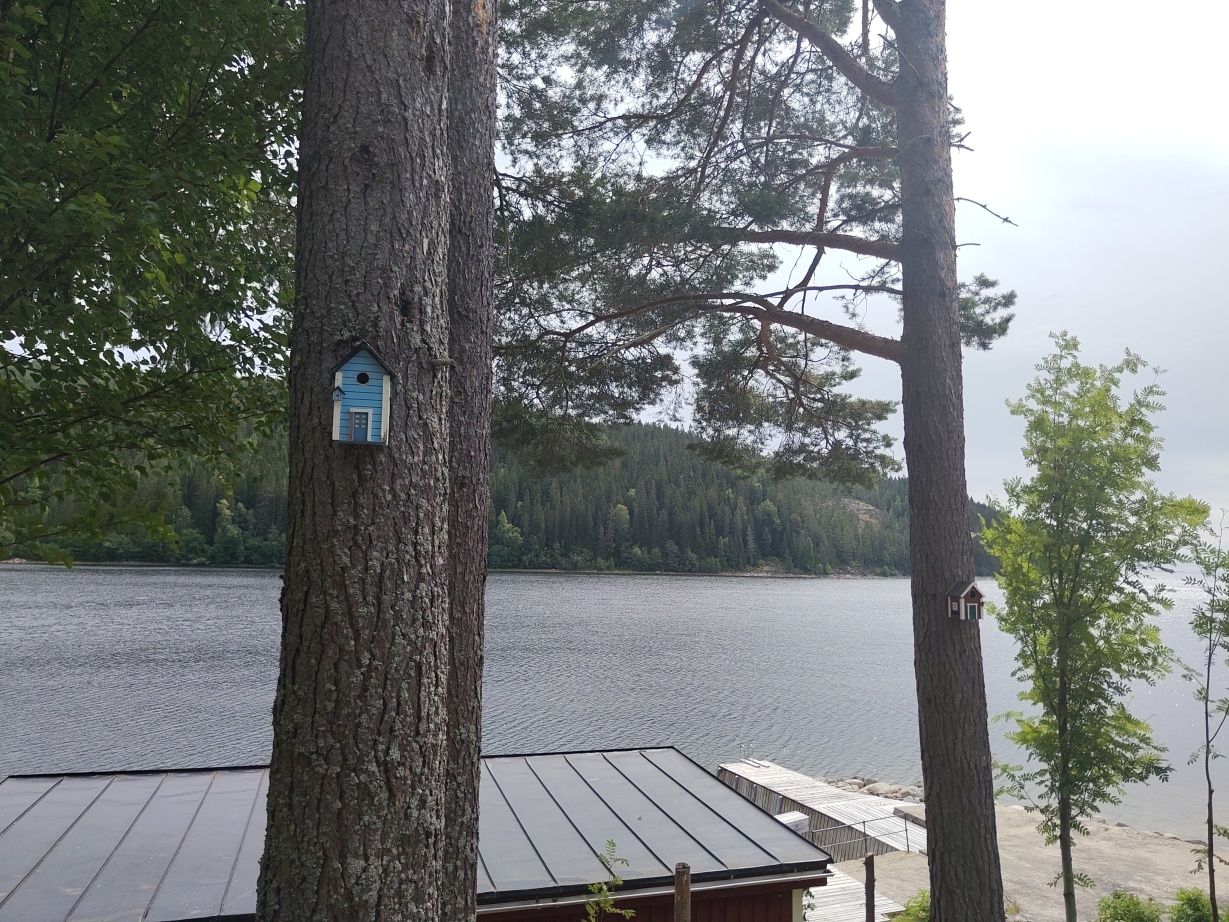
Unlike the previous days, day 5 started with yoghurt and coffee.
After packing our stuff we started our day trip with overcast conditions which soon cleared up.
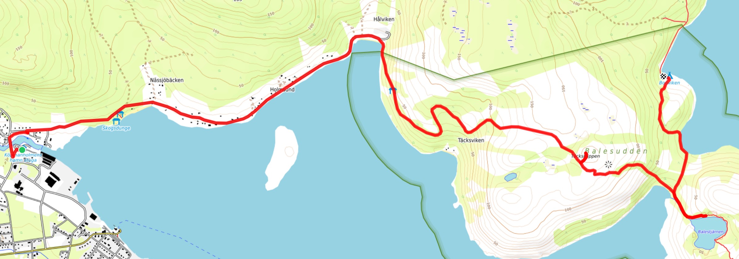
The trail lead us across gravel roads until the village Hålviken where we entered Balesudden nature reserve. Balesudden is seemingly less known compared to Skuleskogen. At least we didn’t meet any other people on our tour crossing it. Nevertheless, the nature out there is beautiful.
The first and last steep climb of the day was Mountain Täcksklippen (175m).
In 2008 there was a large wild fire in this region. Today you can still observe its remnants.
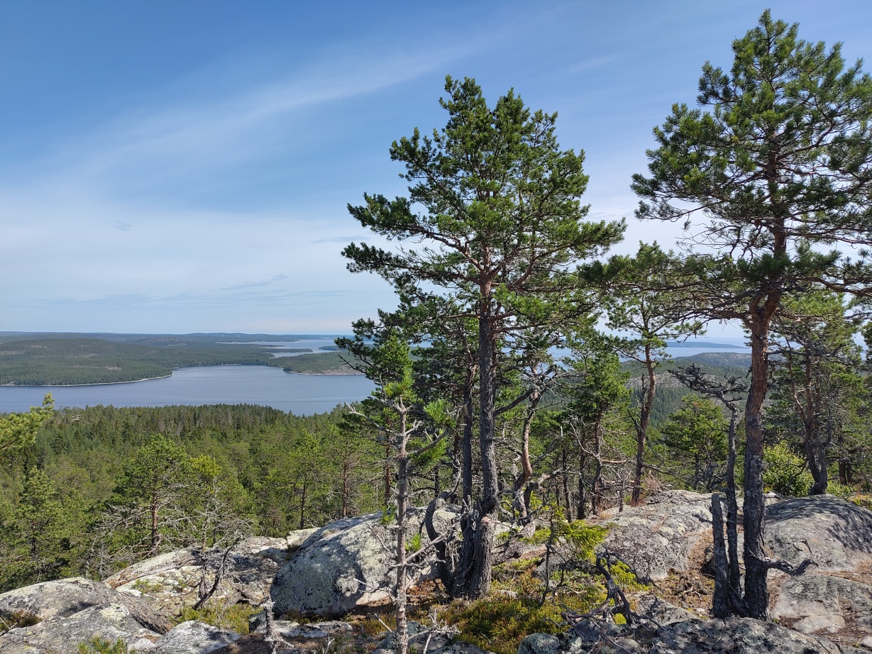
In the far distance you can already take short peek at the City of Örnsköldsvik, the official final destination of the Höga Kusten Leden.
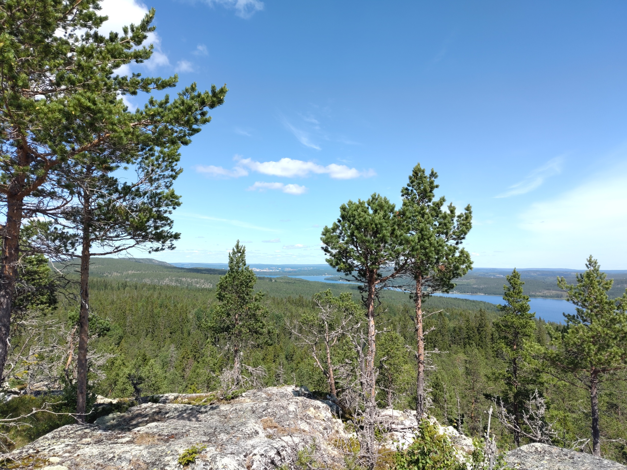
After a short break and another apple we made the descend down towards the bay Sörbalesviken and decided to visit the lake Balestjärnen which was just another 300m from the bay.
We were stunned by how clear the water of this lake was:
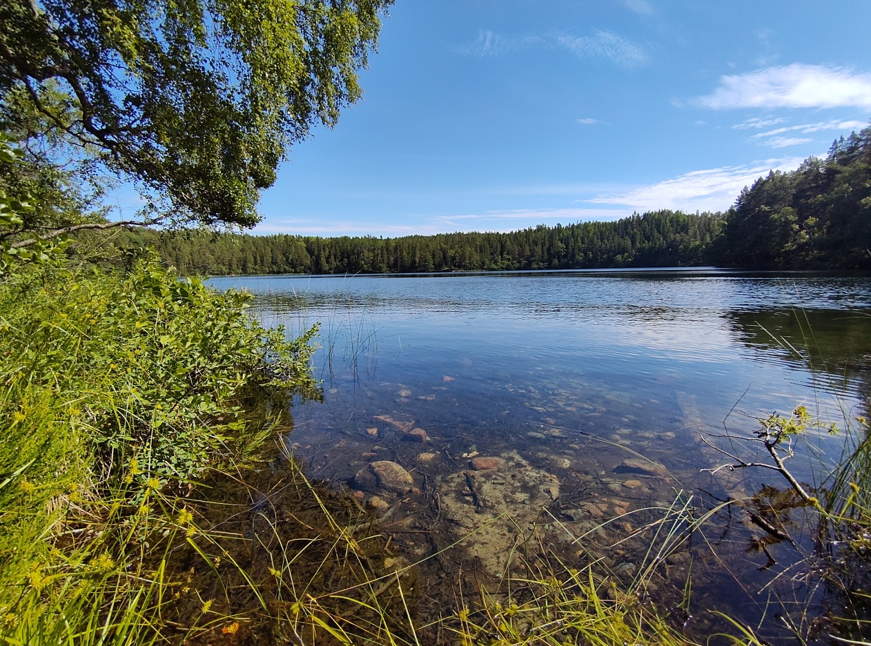
After a short break we made our way to bay Bodviken which was our destination for the day. This is, again, a place in the nature reserve where you were allowed to make fire, put up tents and stay overnight. We looked for a place to put up our tent but there was also a public hut which we could have used. At Bodviken you could also find plenty of blueberries.
We also tried jumping into the baltic sea again, however it was a bit cold and there were a lot of rocks and stones on the beach.
The rest of the evening we spent with cooking some pasta and pesto and playing card games.
Day 6
To be quite honest, day six was very unspectecular.
It started with bred, an apple and coffee. We packed our tent for the last time and started our final trip to our destination.
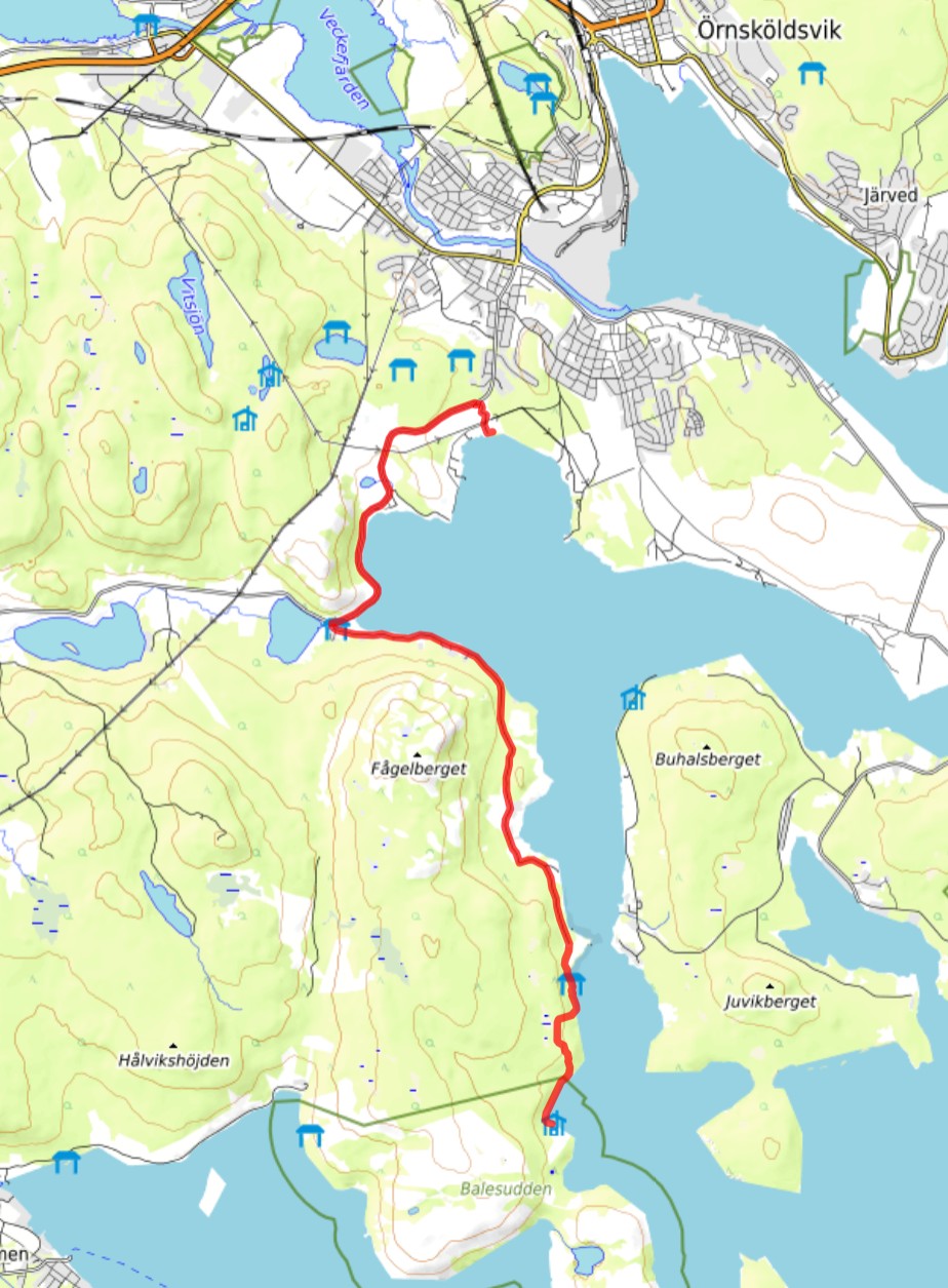
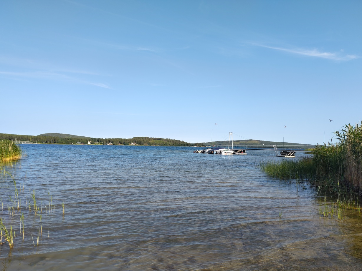
Until the village of Utbysundet we followed the Höga Kusten Leden. This trail led us along the coast line of Bäckfjärden. After reaching Utbysundet we deliberately lost our track to get to our cottage which we stayed in for four more days to relax a bit.
During our six day hike we walked ~100km in total and climbed ~2500m in altitude. We didn’t meet any bears, neither did we meet any elk (moose for those of you who live across the big pond) or reindeer. Nevertheless it was a very nice tour and we can definitely recommend it.